
ENGLISH EDITION · 全球脈動
High-Resolution Boundaries Map Climate Risk Across 386 Coastal Heritage Sites
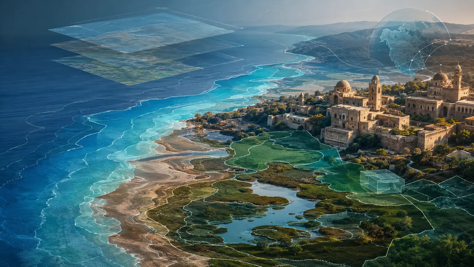
Researchers created high-resolution digital boundaries for 386 coastal World Heritage Sites, drawing 1,250 polygons that can be combined with local flood, erosion, ecological and cultural data.
Executive Summary / Lead
Researchers created high-resolution digital boundaries for 386 coastal World Heritage Sites, drawing 1,250 polygons that can be combined with local flood, erosion, ecological and cultural data. The dataset turns point listings into polygon boundaries so sea-level, flood and erosion models can intersect asset footprints.
Company & Industry Context
World Heritage listings contain locations and basic records, but many sites lack complete analysis-ready boundaries, limiting the ability to connect global hazard models with specific cultural and natural assets. Cultural, natural and mixed-site boundaries come from different sources, requiring licensing, scale, date and local correction to be preserved.
Challenge / Why It Matters
A global dataset is a starting point, not a substitute for local elevation, coastal processes, climate models, community knowledge and asset vulnerability. Dates, scale and licensing also need governance. High-resolution geometry does not equal high certainty; risk still depends on elevation, coastal dynamics, scenarios, vulnerability and protection.
Action / Solution / Implementation
About 14 digitisers combined UNESCO, protected-area, wetland and local maps to hand-draw boundaries for 289 cultural, 91 natural and six mixed sites. Applications should record coordinate systems, data versions, processing, model parameters, validation and manager review.
Evidence / Results / Impact
The dataset covers more than 235 million hectares and 1,250 polygons. It was published in Scientific Data and will support follow-on analysis of sea-level rise and flooding. The Scientific Data paper verifies scope and method, while future loss and adaptation benefits remain follow-on research.
Industry & Institutional Implications
Machine-readable heritage boundaries can support insurance, adaptation investment and budgeting, but provenance and local validation are essential so model precision is not mistaken for certainty. Spatial evidence can support insurance, adaptation budgets and heritage governance without replacing local knowledge.
SNN Editorial / Pre-Disclosure Evidence Infrastructure Perspective
SNN editorial analysis: Taiwan coastal industrial parks, ports, heritage assets, wetlands and tourism facilities also need asset boundaries connected to flood, storm-surge, erosion and subsidence data. Pre-Disclosure Evidence Infrastructure should preserve dataset version, geometry source and date, coordinate system, resolution, digitisation method, validation, hazard model and scenario, asset vulnerability, local review and adaptation decisions. A risk map alone cannot show whether boundaries, models and asset inventories refer to the same period. Taiwan could use stable asset identifiers so insurance, public works, nature-related disclosure and heritage management share a traceable base map. This is editorial interpretation.
Future Outlook
Next checks include dataset updates, adoption by site managers, integration with flood and erosion models and whether vulnerable sites gain adaptation finance. Follow-up should cover updates, local adoption, risk models and adaptation decisions.
Sources, evidence chain and editorial responsibility
Source publication: Eco-Business / Mongabay · Original author: María Paula Rubiano A, Mongabay.com · Original publication date:
External institutional and reporting sources
These external announcements, rules, studies and reports support the discussion and are displayed separately from the original publication.
- Primary editorial discovery and event sourceEco-Business / MongabayHigh-Resolution Boundaries Map Climate Risk Across 386 Coastal Heritage Sites ↗Published 2026-08-31 · Accessed 2026-09-01T03:50:00.000Z
Publication identity, event facts, attributed statements and source timing used for the SNN bilingual summary.
- dataset and method anchorNature Scientific DataA global high-resolution spatial dataset of coastal World Heritage Sites ↗Published 2026-08-27 · Accessed 2026-09-01T03:50:00.000Z
Dataset scope, polygon count, method and research limitations.
- heritage climate-risk contextUNESCO World Heritage CentreClimate Change and World Heritage ↗Published 2026-09-01 · Accessed 2026-09-01T03:50:00.000Z
UNESCO policy and adaptation context for World Heritage climate risks.
- Taiwan physical-risk contextTCCIP, National Science and Technology Center for Disaster Reduction, TaiwanClimate adaptation and vulnerability science update for Taiwan ↗Published 2022-03-01 · Accessed 2026-09-01T03:50:00.000Z
Taiwan climate hazard, exposure, vulnerability and adaptation context.
Topic hub: 氣候與能源轉型