
全球脈動
386 處沿海世界遺產完成高解析邊界建檔,氣候風險評估補上空間證據缺口
SNN.TW 編輯報導SNN.TW Editorial Reporting
研究團隊為 386 處沿海世界遺產建立高解析數位邊界,共繪製 1,250 個多邊形,讓洪水、侵蝕、生態與文化風險能與地方資料疊合。
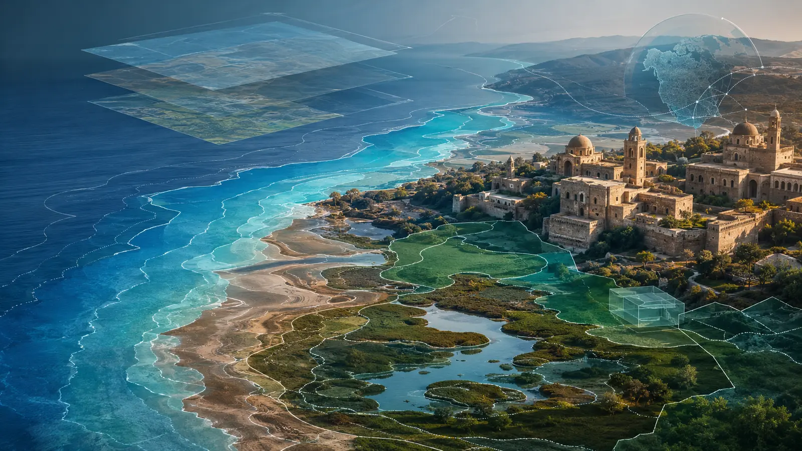
High-Resolution Boundaries Map Climate Risk Across 386 Coastal Heritage Sites
Researchers created high-resolution digital boundaries for 386 coastal World Heritage Sites, drawing 1,250 polygons that can be combined with local flood, erosion, ecological and cultural data.
重點摘要
Executive Summary / Lead研究團隊為 386 處沿海世界遺產建立高解析數位邊界,共繪製 1,250 個多邊形,讓洪水、侵蝕、生態與文化風險能與地方資料疊合。 這份資料集把點位名錄轉為多邊形邊界,讓海平面、洪水與侵蝕模型可與資產範圍疊合。
Researchers created high-resolution digital boundaries for 386 coastal World Heritage Sites, drawing 1,250 polygons that can be combined with local flood, erosion, ecological and cultural data. The dataset turns point listings into polygon boundaries so sea-level, flood and erosion models can intersect asset footprints.
企業與產業背景
Company & Industry Context世界遺產名錄有點位與基本資料,但許多地點缺少可供空間分析的完整邊界,使全球風險模型難以落到個別文化與自然資產。 文化、自然與混合遺產的邊界來源不同,資料整合需保留授權、比例尺、日期與地方校正。
World Heritage listings contain locations and basic records, but many sites lack complete analysis-ready boundaries, limiting the ability to connect global hazard models with specific cultural and natural assets. Cultural, natural and mixed-site boundaries come from different sources, requiring licensing, scale, date and local correction to be preserved.
挑戰與重要性
Challenge / Why It Matters全球資料集是起點,不能取代地方高程、海岸動力、氣候模型、社群知識與資產脆弱度。不同來源的日期、尺度與授權也需治理。 高解析幾何不等於高確定性,風險仍受高程、海岸動力、情境、資產脆弱度與保護措施影響。
A global dataset is a starting point, not a substitute for local elevation, coastal processes, climate models, community knowledge and asset vulnerability. Dates, scale and licensing also need governance. High-resolution geometry does not equal high certainty; risk still depends on elevation, coastal dynamics, scenarios, vulnerability and protection.
行動、方案與執行
Action / Solution / Implementation約 14 名數位化人員整合 UNESCO 名錄、保護區、濕地與地方地圖,以人工方式描繪 289 處文化、91 處自然與 6 處混合遺產邊界。 應用時需記錄座標系統、資料版本、處理步驟、模型參數、驗證與地方管理者覆核。
About 14 digitisers combined UNESCO, protected-area, wetland and local maps to hand-draw boundaries for 289 cultural, 91 natural and six mixed sites. Applications should record coordinate systems, data versions, processing, model parameters, validation and manager review.
證據、成果與影響
Evidence / Results / Impact資料涵蓋逾 2.35 億公頃與 1,250 個多邊形;研究刊於 Scientific Data,並將用於後續海平面上升與洪水影響研究。 Scientific Data 論文可驗證範圍與方法,未來損失及調適效益仍是後續研究。
The dataset covers more than 235 million hectares and 1,250 polygons. It was published in Scientific Data and will support follow-on analysis of sea-level rise and flooding. The Scientific Data paper verifies scope and method, while future loss and adaptation benefits remain follow-on research.
產業與制度意涵
Industry & Institutional Implications把遺產邊界轉為可機讀資料,可支援保險、調適投資與公共預算,但必須保留來源版本與地方覆核,避免把模型精度誤認為決策確定性。 空間證據可支援保險、調適預算與文化資產治理,但不能取代在地知識。
Machine-readable heritage boundaries can support insurance, adaptation investment and budgeting, but provenance and local validation are essential so model precision is not mistaken for certainty. Spatial evidence can support insurance, adaptation budgets and heritage governance without replacing local knowledge.
SNN 編輯與揭露前證據基礎設施觀點
SNN Editorial / Pre-Disclosure Evidence Infrastructure PerspectiveSNN 編輯分析:台灣的沿海工業區、港口、文化資產、濕地與觀光設施同樣需要把資產邊界與淹水、暴潮、侵蝕及地層下陷資料接起來。揭露前證據基礎設施應保存資料集版本、幾何來源與日期、座標系統、解析度、數位化方法、驗證結果、危害模型與情境、資產脆弱度、地方覆核與調適決策。若企業或地方政府只貼一張風險圖,外部使用者無法判斷邊界、模型與資產清冊是否為同一期間。台灣可進一步用穩定資產識別碼,讓保險、公共工程、自然相關揭露與文化資產管理共用可追溯底圖。此段為編輯解讀。
SNN editorial analysis: Taiwan coastal industrial parks, ports, heritage assets, wetlands and tourism facilities also need asset boundaries connected to flood, storm-surge, erosion and subsidence data. Pre-Disclosure Evidence Infrastructure should preserve dataset version, geometry source and date, coordinate system, resolution, digitisation method, validation, hazard model and scenario, asset vulnerability, local review and adaptation decisions. A risk map alone cannot show whether boundaries, models and asset inventories refer to the same period. Taiwan could use stable asset identifiers so insurance, public works, nature-related disclosure and heritage management share a traceable base map. This is editorial interpretation.
未來展望
Future Outlook後續應追蹤資料更新、地方管理單位採用、與洪水及侵蝕模型的整合,以及脆弱地點是否因此取得調適資金。 後續應追蹤更新機制、地方採用、風險模型與調適投資決策。
Next checks include dataset updates, adoption by site managers, integration with flood and erosion models and whether vulnerable sites gain adaptation finance. Follow-up should cover updates, local adoption, risk models and adaptation decisions.
來源、證據鏈與責任編輯
來源媒體:Eco-Business / Mongabay · 原文作者:María Paula Rubiano A, Mongabay.com · 原文發布:
外部論述與制度來源
以下外部公告、法規、研究或新聞用於支撐本文論述,並與原始出版分開呈現。
- Primary editorial discovery and event sourceEco-Business / MongabayHigh-Resolution Boundaries Map Climate Risk Across 386 Coastal Heritage Sites ↗出版日期 2026-08-31 · 查核時間 2026-09-01 11:50 (UTC+8)
Publication identity, event facts, attributed statements and source timing used for the SNN bilingual summary.
- dataset and method anchorNature Scientific DataA global high-resolution spatial dataset of coastal World Heritage Sites ↗出版日期 2026-08-27 · 查核時間 2026-09-01 11:50 (UTC+8)
Dataset scope, polygon count, method and research limitations.
- heritage climate-risk contextUNESCO World Heritage CentreClimate Change and World Heritage ↗出版日期 2026-09-01 · 查核時間 2026-09-01 11:50 (UTC+8)
UNESCO policy and adaptation context for World Heritage climate risks.
- Taiwan physical-risk contextTCCIP, National Science and Technology Center for Disaster Reduction, TaiwanClimate adaptation and vulnerability science update for Taiwan ↗出版日期 2022-03-01 · 查核時間 2026-09-01 11:50 (UTC+8)
Taiwan climate hazard, exposure, vulnerability and adaptation context.
主題中心:氣候與能源轉型